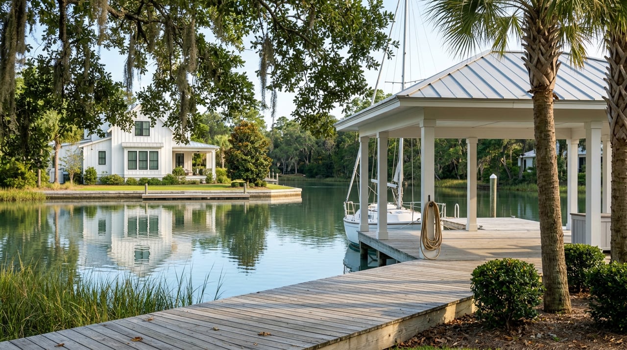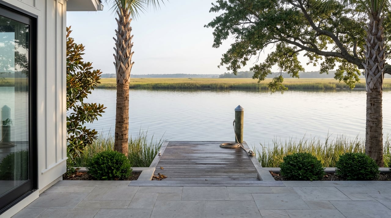
Twice a month, George Bolger walks down to the dock behind his house on the Okatie River, drops a small probe into the water, and waits about five minutes. He records the temperature, the salinity, the dissolved oxygen, the pH. Then he drives his water sample to a lab and does not think much more about it until the next test, two weeks later.
Bolger is retired from a career in oil and gas. He is not a marine biologist and does not work for the state. He was one of the first volunteers trained when the Port Royal Sound Foundation, headquartered at the Maritime Center on Okatie Highway, began building a water-quality monitoring network for the sound back in 2020. Today that network includes roughly 70 volunteers, among them students from the University of South Carolina Beaufort, sampling 35 sites across the watershed every two weeks. Bolger's stretch of the Okatie River is one of them.
A Watershed That Breathes Twice a Day
Most people who live along a tidal creek assume it works the way rivers generally work: fresh water flows down from higher ground, picks up whatever is in its path, and eventually reaches the sea. The Port Royal Sound watershed does not work that way. It covers roughly 1,600 square miles across Beaufort and neighboring counties, and instead of being fed by freshwater draining off upland hills, the entire system rises and falls with the tide, pulling ocean water in and pushing it back out twice a day.
That reach goes further inland than most residents realize. A fisherman working the pier at Knowles Island, 22 miles from the open ocean, told a reporter this year that he regularly pulls sharks out of that water. The tide carries salt water that far up the system and then carries it back out again, which is part of why a creek behind a house in Okatie can behave more like an estuary than a stream.
Thirty Years of Data That Missed the Story
South Carolina's environmental agency has monitored 14 sites around the watershed monthly for three decades, which sounds like a long record. But according to the foundation, that data was built to answer one question at a time: does this reading, on this day, cross a regulatory threshold. It was never assembled into a longer trend line.
When the Port Royal Sound Foundation's science team went back through those three decades of state data, a pattern emerged that the month-to-month checks had never been designed to catch. Salinity has been diminishing and temperatures have been rising across all 14 of those long-monitored sites. The watershed as a whole is not falling apart. But it is measurably different than it was thirty years ago, and the change does not land evenly. Across the sound's 37 sub-watersheds, some creeks are shifting faster than others, and until someone built a database wide enough to compare them, nobody could say which.
"You need to find out what's here now and when it starts to change, then you want to know why."
That is Bolger's description of why the biweekly testing matters, and it is a fair summary of what a 30-year snapshot record could never do on its own.
Where the Gaps Are, and Why It Takes a Neighbor to Fill Them
Chris Kehrer, the foundation's science program manager, has said the deeper the team mines the combined dataset, the more clearly it exposes places nobody has been watching closely enough. Some of those gaps sit in creeks close to where people actually live along the Bluffton and Okatie corridor. Others are further out. Kehrer has tested sites as far inland as Euhaw Creek near Ridgeland, well outside the stretch most Okatie residents think of as their own water, but part of the same system that eventually reaches their dock.
The plan is to keep expanding, with new sites going in over the upper reaches of the watershed in Jasper and Allendale counties, where distance and smaller populations make recruiting volunteers harder. Every sample collected under this program gets forwarded to Dr. Daniel Pettay's lab at USCB for further testing, which is how a retired volunteer with a five-minute dockside routine ends up contributing to a university research pipeline instead of a filing cabinet.
The practical upshot for anyone who lives near the water in Okatie is that the most complete picture of what's happening in the creek out back does not come from a state office. It comes from a neighbor with a sensor, a foundation office a few miles up the highway, and a lab at USCB that never existed as part of this system a decade ago.
How to See the Data Yourself
None of this requires becoming a volunteer to be useful to a curious resident. The Maritime Center itself sits on the banks of the Chechessee River at 310 Okatie Highway, and there are several low-effort ways to get closer to the work:
- Visit the Maritime Center, which is free, and walk out on its dock for a look at the marsh the monitoring program is tracking.
- Ask about the Citizen Science Program if you want to be trained the way Bolger was, on your own creek or a nearby one that needs a volunteer.
- Attend the annual State of the Sound Symposium, which the foundation began hosting in February 2022 to share what researchers from USCB and SCDNR are learning about the sound.
- Join one of the quarterly litter pickups along the highway near the foundation's office. Volunteers have kept roughly 1,500 bags of trash out of the sound since 2014.
- Enter the annual Recycled Art Contest if you would rather turn litter into something to look at than haul it away.
None of it changes what's already in the water. But it changes how much a resident actually knows about the creek their house happens to sit beside, which is more than most people who live here can currently say.
What This Means for the Water You Live Beside
People move to Okatie for the marsh view, the dock, the quiet of a tidal creek at low tide. Few of them think about that water as a system with a memory, one that a handful of volunteers are now building on the foundation's behalf, two samples at a time. The data so far says the sound is not in crisis. It also says the water is not static, and that the parts of the system closest to where people actually live are among the last to get a clear picture.
If you're weighing a move to a home on or near the water in Okatie, or wondering what a particular creek or dock is really like day to day, that's a conversation worth having with someone who tracks this market and this coastline as closely as the foundation tracks its salinity. The Agency Hilton Head works these waterfront and marsh-front communities throughout Bluffton and Okatie every day. Reach out to request a complimentary market valuation and we'll walk you through what a specific stretch of water, and the home beside it, is actually worth right now.